Africa on a traditional world map based on the Mercator projection (left) and on the 2018 Equal Earth map (right). equal-earth.com, Getty Images
According to The Guardian, Togo’s Foreign Minister Robert Dussé stated that the issue is not a political dispute: the existing distortions have been confirmed by cartographic science. However, for African countries, the initiative also has political significance — the conventional map visually underestimates the scale of Africa.
The Mercator projection was created in 1569 for maritime navigation. It accurately depicts directions but distorts the sizes of territories: regions located far from the equator appear significantly larger on the map than they actually are.
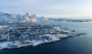
Consequently, on a standard map, Greenland appears to be comparable in size to Africa, even though the African continent is almost 14 times larger. Its territory could accommodate the USA, China, India, Japan, Mexico and a significant part of Europe.
The #CorrectTheMap campaign, promoted by Togo, proposes using the Equal Earth projection, developed in 2018. Unlike the Mercator projection, it preserves the relative sizes of the continents and provides a more realistic representation of their dimensions.
Supporters of the initiative believe that this goes beyond school atlases. Maps are used in educational programmes, digital services and government systems, which means that the familiar visual model influences perceptions of geography and the roles of different regions of the world.
However, a UN General Assembly resolution is not legally binding. Its adoption could form the basis for a gradual change in teaching materials and digital mapping services.
In Togo, plans are already underway for the next stage. In 2027, a meeting is to be held in Lomé involving UNESCO, the African Union and technology companies to discuss the practical application of the new projection.
For Togo, the issue of the map has become part of a broader struggle to change perceptions of Africa – a continent whose true demographic, economic and geopolitical scale is visually underestimated by the conventional world map.
Follow our updates
Have information for the newsroom? Share it with Logos-Press