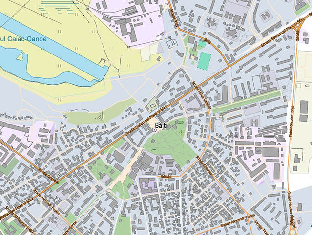
Topographic, engineering-geodetic and control plans created based on the results of topographic-geodetic surveys and topographic-post surveys on the territory of the Republic of Moldova will be united in a single state geoinformation system.
The register will allow centralized record keeping of topographic-geodetic works under a simplified reporting system, while providing access to the necessary information to central and local authorities, as well as to the State Inspectorate for Technical Supervision.
The register will also provide access to spatial data for individuals and legal entities through network services, facilitating their use in the process of development and planning of topographic-geodetic works and design works.
The Regulations will establish a set of rules and procedures for the operation of the Register. The procedure for recording and updating of topographic-geodetic works is defined. Integration of the Register with other state geoinformation systems is also envisaged.

